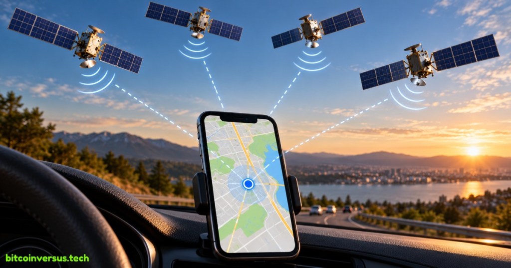
GPS is a satellite system that helps a device figure out where it is on Earth.
Your phone, car, smartwatch, hiking GPS, and many other devices can listen to GPS satellites and use their signals to estimate your location.
What Does GPS Mean?
GPS means Global Positioning System.
It is a U.S.-owned system of satellites, ground stations, and receivers. The satellites circle Earth and continuously send radio signals containing very accurate time and position information.
The U.S. government’s GPS.gov explains that GPS provides positioning, navigation, and timing services around the world.
How Does Your Phone Know Where You Are?
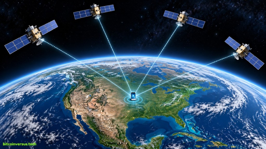
Your phone listens for signals from several GPS satellites above Earth.
Each signal includes the satellite’s position and a very precise time. Your phone compares when those signals were sent with when they arrived.
That tiny difference in time tells the phone roughly how far away each satellite is.
Why Does GPS Need Several Satellites?
Knowing your distance from one satellite is not enough to tell exactly where you are.
With signals from several satellites, your device can compare multiple distances and narrow your position down to one place.
GPS.gov explains that a receiver can use signals from at least four satellites to determine its three-dimensional position and time.
Does GPS Need the Internet?
GPS itself comes from satellite signals, not from Wi-Fi or cellular internet.
But the map on your screen may still need internet access to download streets, traffic, businesses, or directions. That is why a phone can sometimes know its location even when the map around it has not loaded.
If you want the simple difference between a wireless network and the internet, see What Is Wi-Fi?
This GPS Resilience post shows a useful real-world reminder: GPS signals can sometimes be disrupted or jammed, affecting devices far beyond cars and phones.
What Uses GPS?
GPS is used for much more than driving directions.
- Phones and smartwatches
- Cars and delivery vehicles
- Airplanes and ships
- Hiking and outdoor navigation
- Farming and surveying
- Emergency services
- Precise timing for networks and other systems
Satellites are also becoming more connected to everyday phones in other ways. BitcoinVersus.Tech recently covered satellite-to-phone coverage.
Can GPS Be Wrong?
Yes. Tall buildings, mountains, heavy tree cover, indoor spaces, radio interference, and other conditions can make satellite signals harder to receive accurately.
That is why your location dot sometimes jumps around or takes a few seconds to settle.
The Easy Way to Remember It
GPS is a group of satellites that helps your device figure out where it is.
The satellites send precise timing signals. Your device listens to several of them, compares the signals, and calculates its location.
That is the basic idea.
References
BitcoinVersus.Tech
BitcoinVersus.Tech explains everyday technology in plain language.
BitcoinVersus.tech is not a financial advisor. Content is provided for informational purposes.


Leave a comment