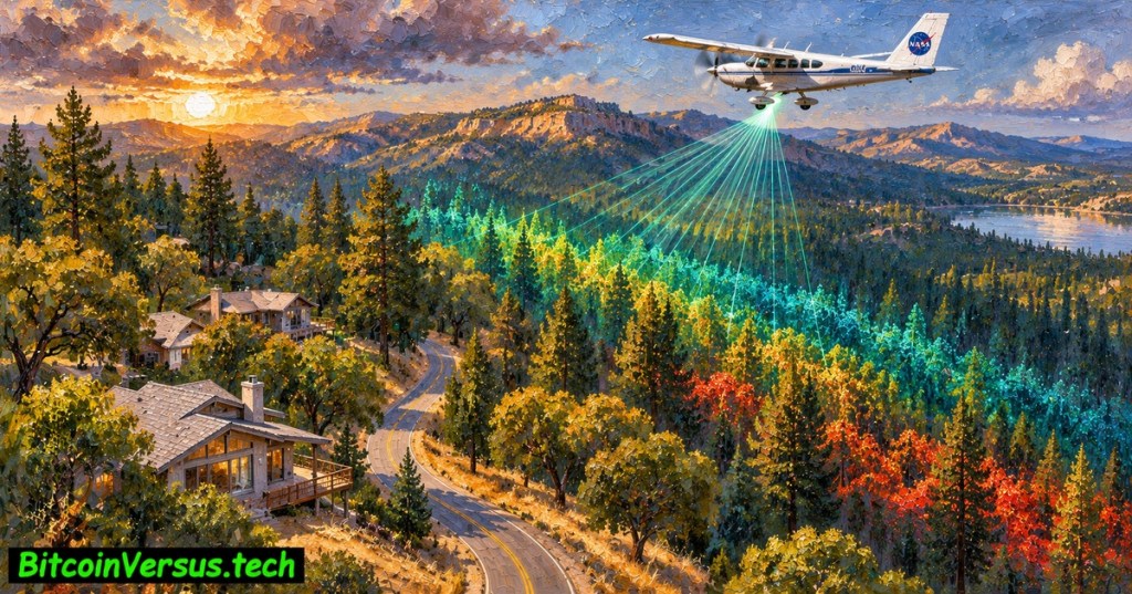
NASA has highlighted a new way to see California’s wildfire danger: three-dimensional lidar maps that reveal tree canopies, vegetation density and the terrain beneath them. A November 18, 2026 NASA science update describes a statewide mapping effort by its Wildfire, Ecosystem Resilience, and Risk Assessment Initiative, or WERK. The data can help land managers identify where combustible vegetation links the ground to treetops.
The mapping initiative did not begin in November. California’s first consistent statewide lidar-derived datasets were released December 12, 2025. NASA’s latest coverage draws attention to the project’s detailed point clouds and future wildfire-risk applications, rather than announcing a sensor that can detect every new fire in real time.
UC Davis College of Agricultural and Environmental Sciences, May 2026: researchers use a separate lidar survey to document tree loss after the Eaton Fire in Altadena. Relevant California field example, not footage of WERK’s statewide release. View the original video.
Why a laser sees wildfire fuel that a photograph misses
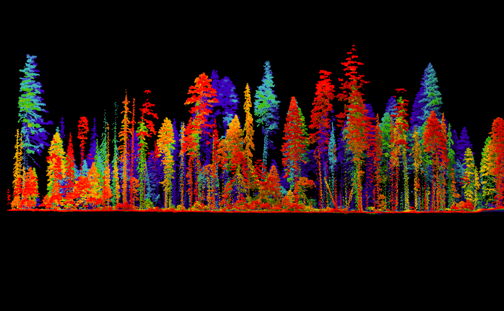
Airborne lidar sends repeated laser pulses toward the ground and measures their return times. Millions of distance samples create a 3D point cloud, allowing scientists to estimate the bare ground, branches, shrubs and tree canopy separately. Overlapping vegetation forms so-called ladder fuels, which can help a surface fire climb into the crowns of taller trees.
NASA used aircraft survey data from the U.S. Geological Survey’s 3D Elevation Program and processed them through the NASA Earth Exchange. WERK says it has assembled more than 100 million acres of California lidar records into consistent derived products. A scan’s collection year matters: a tree removed after the flight can still appear in an older map.
One-meter detail is not the same as statewide one-meter coverage
NASA’s short announcement describes one-square-meter pixels and tree-scale detail. Its more detailed WERK project documentation, however, identifies 10-meter and 30-meter statewide layers and lists 1-meter products for selected areas. Public catalogs include 1-meter datasets around the 2018 Camp Fire and 2025 Los Angeles fire zones. A blanket claim that every tree is already individually resolved in a uniformly available 1-meter statewide layer goes beyond the public documentation we verified.
| Published data tier | Mapped area | What it shows |
|---|---|---|
| 10-meter pixels | Statewide | Regional terrain and vegetation patterns |
| 30-meter pixels | Statewide | Broad landscape comparisons |
| 1-meter pixels | Selected published areas | Local canopy and structure detail |
Even at one-meter resolution, individual tree identification depends on overlapping crowns, survey density, seasonal leaves and processing methods. A BitcoinVersus.Tech lesson on lidar occupancy mapping explains why measured returns need careful interpretation before becoming a useful map.
OpenTopography, UC San Diego: tutorial comparing lidar point clouds at different resolutions in Solana Beach, California. Independent educational demonstration, not footage of a new WERK deployment. View the original video.
What fire planners can do with the maps
WERK aims to estimate vegetation height, shrub density, canopy structure, damaged buildings and changes after forest treatments. A local agency might prioritize work where dense undergrowth connects to tall trees near homes, then validate the site with field inspections. The approach complements emergency detection tools rather than replacing crews or predicting ignition dates.
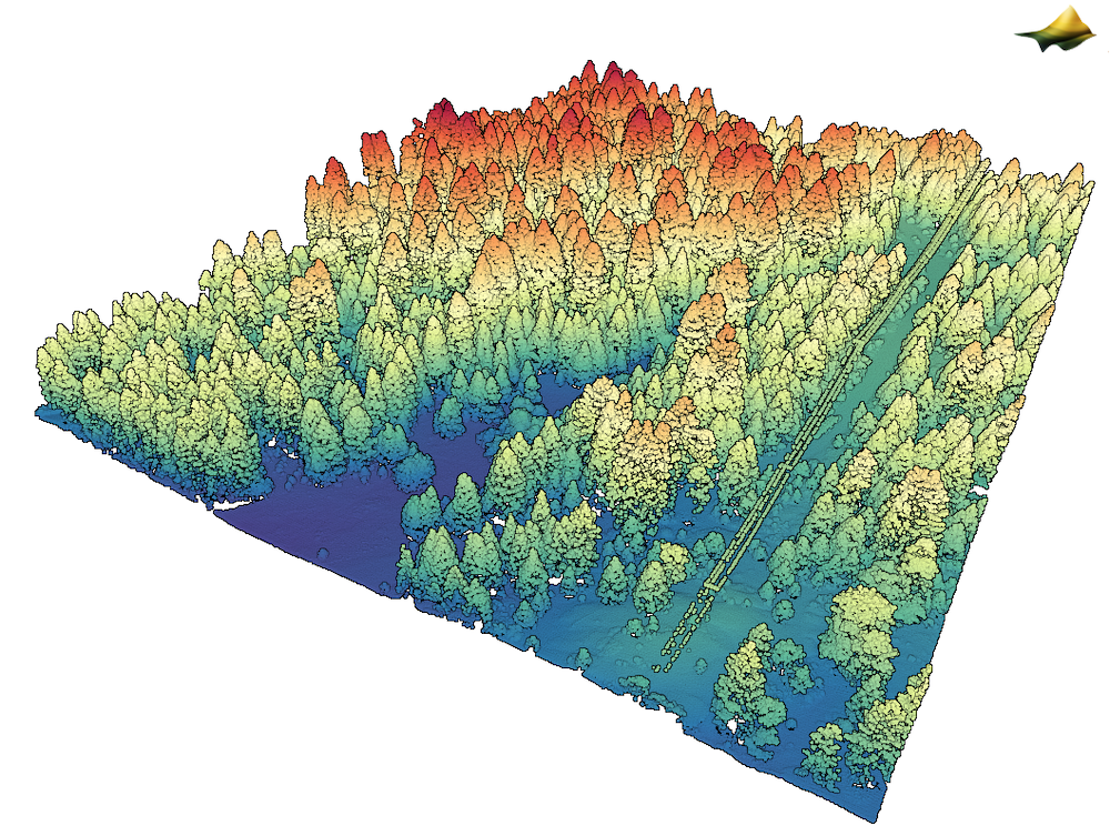
The state’s next work includes individual-tree monitoring, land-cover classification and annual disturbance mapping. NASA’s program page outlines phased releases through 2028. The technical challenge is keeping the imagery current as trees die, regrow, burn or are cleared, while ensuring coverage and quality remain comparable across different aircraft surveys.
Similar evidence problems arise in other fields. Our USGS earthquake mapping analysis separates measured events from a forecast of future hazards. Distributed fiber sensing and multispectral fire-warning systems illustrate different technologies that monitor changing conditions rather than provide a historical terrain baseline.
Lidar reveals possible fuel pathways, but fire behavior still depends on weather, ignition and field conditions.
Primary sources and verification
Evidence: NASA’s November 18 announcement; WERK public product documentation; California Wildfire and Forest Resilience Task Force’s December 2025 release; WIFIRE Commons 1-meter Camp Fire catalog. Archival media is labeled.
Reporting Note: The featured oil painting is conceptual, not a scientific visualization. Official lidar images are archival; university videos show related projects, not WERK. Mapping resolution alone cannot prove prevention effectiveness.
Editor’s Note: We volunteer daily to ensure the credibility of information on our platform is Verifiably True. Support our research by scanning the QR code below to donate 5,000 sats.

For mobile scanning, open the article on another display and scan the QR code with a Bitcoin wallet. Verify receiving address 3C9o19EH5HSiwEPyCTmEKzxhNCbo2X6TTb before sending.
BitcoinVersus.tech provides technical and financial journalism for informational purposes only and does not provide investment, legal or cybersecurity assurance.


Leave a Reply