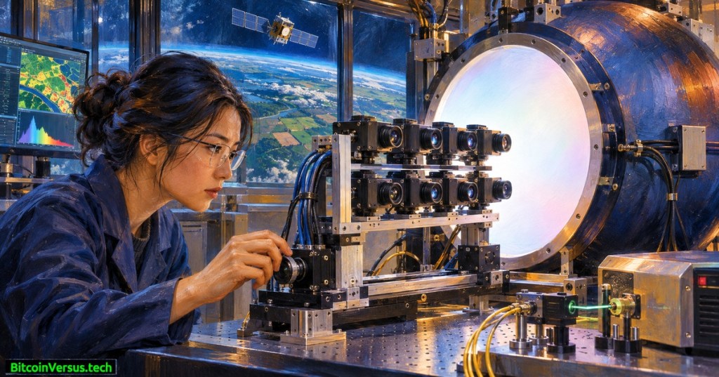
NASA has completed a precision calibration campaign for eight cameras intended for Hydrosat’s planned Osiris satellite constellation. The work finished on October 30, 2026, and NASA publicly detailed it on November 18. Engineers used controlled laser light and a reflective integrating sphere at Goddard Space Flight Center to check how visible and near-infrared sensors respond before the commercial spacecraft launch.
Osiris is designed as a fleet of four refrigerator-sized Earth-observation satellites. Each spacecraft is expected to combine visible/near-infrared imagery with long-wave infrared measurements, potentially helping analysts detect crop-water stress, surface heat changes and infrastructure damage. The completed tests verify laboratory sensor response, not orbital performance or a completed launch.
NASA Goddard’s August 2026 video documents how Landsat thermal measurements inform vineyard water management. It illustrates the application, not an Osiris flight test. Watch the original NASA video on YouTube.
Eight cameras face one carefully measured light source
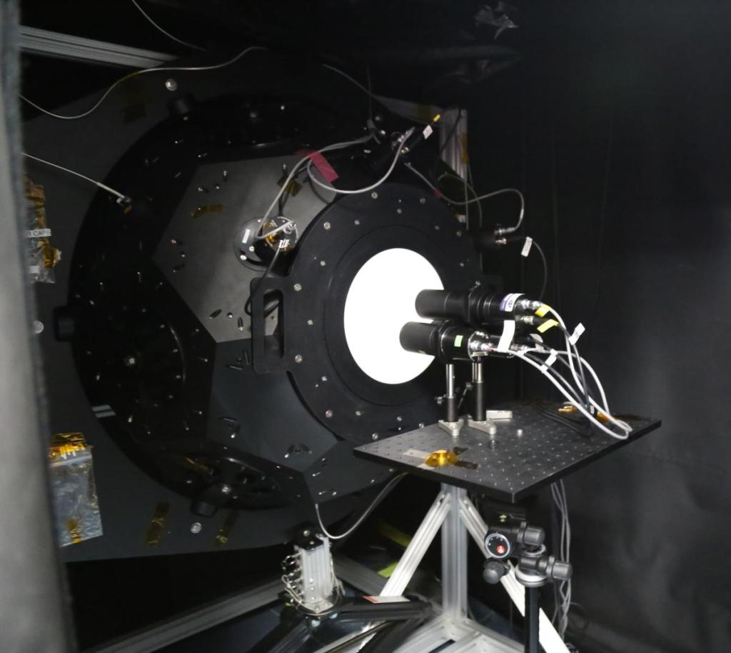
The Hydrosat cameras arrived at NASA Goddard on October 16. Three days later, engineers arranged eight units before an integrating sphere inside the Goddard Laser for Absolute Measurement of Radiance laboratory, known as GLAMR. Its highly reflective interior distributes light across the cameras’ field of view, allowing instruments to observe a controlled reference rather than an unpredictable outdoor scene.
A tunable laser transmitted light through optical fibers into the sphere. Technicians tested multiple visible colors and near-infrared wavelengths, comparing the camera outputs with the known illumination. They also adjusted brightness to characterize response across dim and bright conditions. Calibration helps transform raw digital readings into trustworthy physical measurements, and can reveal differences between sensors before launch.
What nine visible bands and three thermal bands could measure
Hydrosat’s September specifications describe a nine-band visible/near-infrared sensor with planned 10-meter ground resolution and a three-band thermal payload targeting 25-meter native resolution. The company projects thermal swaths ranging from 160 to 340 kilometers. Those values are announced design specifications, not an independent post-launch assessment.
Visible and near-infrared reflectance can help detect shifts in vegetation condition. Long-wave infrared instruments observe emitted thermal radiation, which can support estimates of surface temperature. Combining the measurements may help distinguish water-stressed vegetation from healthy crops, though atmospheric correction, clouds, field validation and data-processing assumptions still matter.
The approach complements NASA’s recent mapping of field-scale water use. Separately, John Deere’s orchard-camera acquisition illustrates how agricultural measurements can come from ground vehicles rather than orbit.
An official NASA/USGS Landsat video explains evapotranspiration mapping from thermal observations. Historical context only; it does not show the Osiris instruments. Watch the original NASA video on YouTube.
A commercial mission with a planned 2027 launch
Hydrosat says the first two Osiris satellites are scheduled for 2027. Earlier VanZyl-1 and VanZyl-2 satellites launched in 2024 and 2025. NASA says Osiris data will be accessible to authorized users through its Commercial Satellite Data Acquisition program, rather than promising unrestricted public access to every image.
Successful laboratory calibration removes an important prelaunch uncertainty, but operators still need spacecraft integration, launch, commissioning and in-orbit validation. Similar quality questions affect long-running public missions: NASA’s retiring Terra observatory built decades of comparable records, while three-dimensional forest mapping shows the value of carefully calibrated remote sensing for environmental decisions.
Bottom line: The central advance is measurement reliability, not a claim that four satellites are already collecting fresh data. Accurately calibrated cameras make future crop, land and infrastructure observations more useful once the Osiris fleet reaches orbit.
Primary sources: NASA Goddard, November 18, 2026; Hydrosat specifications, September 16, 2026; NASA GLAMR facility documentation.
Editor’s note: The featured oil painting is an original conceptual illustration. The GLAMR photo and NASA videos document related technology rather than the specific Osiris testing campaign.
We volunteer daily to ensure the credibility of the information on this platform is Verifiably True. If you would like to support to help further secure the integrity of our research initiative, please scan the QR code below.



Leave a Reply