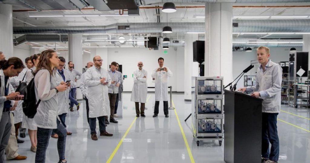
Planet Labs co-founder and CEO Will Marshall explained how a constellation of small satellites is turning repeated Earth observation into a resource for defense, agriculture and business. Speaking with Molly O’Shea in a November 5, 2026 Sourcery interview filmed at Planet’s San Francisco manufacturing facility, Marshall described the company’s mission to image Earth’s landmass at an approximately daily cadence and convert the results into actionable intelligence.
The interview coincided with the November 5 release of the Planet AI app, which searches more than a decade of company imagery using natural-language requests. Planet said the application can locate sites, compare historical imagery, generate timelapses and help researchers investigate changes without specialist GIS software. The launch moves Planet beyond selling satellite images toward selling easier access to geospatial analysis.
Molly O’Shea interviews Will Marshall at Planet’s San Francisco factory, published November 5, 2026. Original 40-minute Sourcery episode: watch on YouTube. Credit: Sourcery / Molly O’Shea.
How daily global observation actually works
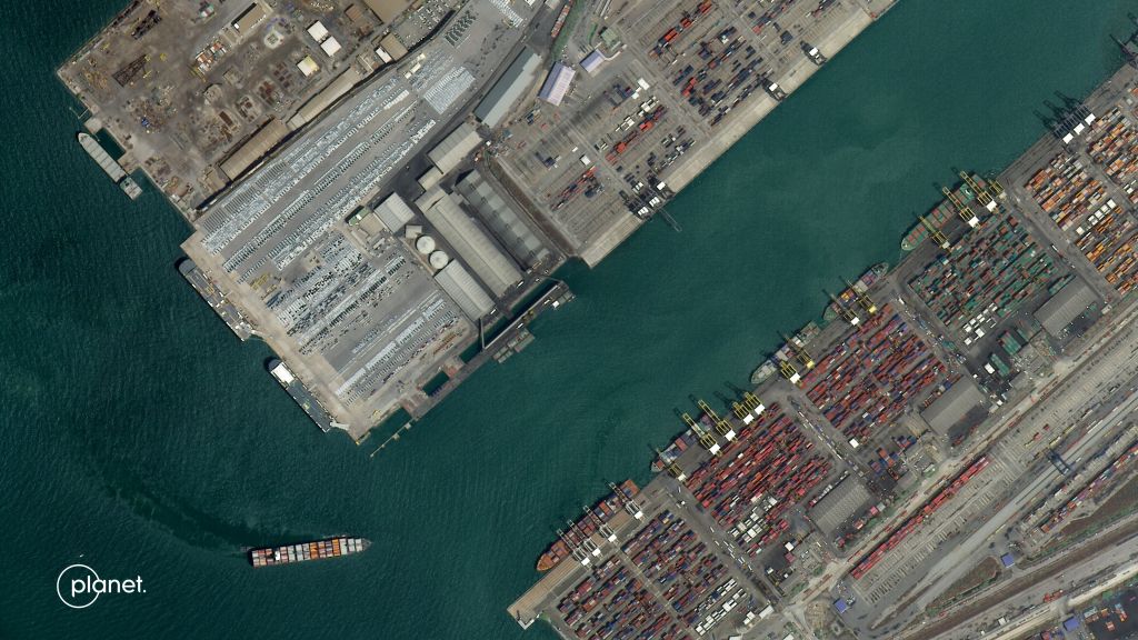
Planet’s PlanetScope network uses numerous low-Earth-orbit satellites to photograph land repeatedly as Earth rotates beneath their orbital paths. The company reports a fleet of approximately 200 operating satellites across multiple constellations, with its broad-area monitoring system providing near-daily imagery at roughly 3-meter-class spatial resolution. Near-daily coverage describes collection capacity, not a guarantee of a clear, useful photograph of every location every day; cloud cover, illumination, latitude, scheduling and processing delay matter.
Higher detail requires a different trade-off. Planet’s SkySat and Pelican systems support targeted high-resolution collection, with Pelican products sampled at approximately 50 centimeters per pixel. The distinction between wide-area monitoring and tasked imaging resembles the trade-offs explored in BitcoinVersus.Tech coverage of Satellogic’s onboard-AI satellite: finer imagery and faster alerts generally require prioritizing individual scenes, communications capacity and processing resources.
Defense intelligence and commercial applications
Marshall discussed satellite imagery as an increasingly important source of information during conflicts and geopolitical crises. The commercial relevance is measurable: Planet’s fiscal second-quarter 2027 disclosures identify a $21.9 million U.S. National Geospatial-Intelligence Agency contract extension for maritime surveillance and a six-month $7.5 million Navy renewal for vessel detection in the Pacific. Such awards establish customer demand, but do not independently establish the operational accuracy of every image-derived alert.
Elsewhere, repeated imagery allows analysts to observe crop stress, deforestation, flooding, construction and shipping activity. Planet reported record quarterly revenue of $116.1 million for the period ended July 31, 2026, up 58% year over year. Financial momentum does not remove concerns about privacy, geopolitical sensitivity, automated misclassification or the cost of maintaining and replenishing the fleet.
Satellite data and onboard AI are converging
Newer Planet spacecraft incorporate onboard processing, including NVIDIA Jetson-based edge computing, to analyze information before downlink. Processing near the sensor can reduce the amount of raw data transmitted and help accelerate detection; it does not eliminate ground stations, human review or communications delays. Related BitcoinVersus.Tech reporting examined chips that have already operated in space and the importance of satellite ground communications.
Marshall also considered the longer-term economics of orbital AI data centers during the conversation. Such proposals remain separate from established Earth-imaging services and from limited onboard inference. Earlier BitcoinVersus.Tech coverage of Google’s Project Suncatcher experiment addressed a different workload and engineering scale. An operational Earth-imaging constellation should not be mistaken for evidence that large orbital data centers have achieved commercial viability.
Planet’s immediate test is whether near-daily sensing, high-resolution tasking and conversational search can produce reliable, traceable decisions. Analysts still need original timestamps, ground-truth checks, consistent baselines and confidence estimates. A compelling satellite image can reveal change; interpreting its cause requires additional evidence.
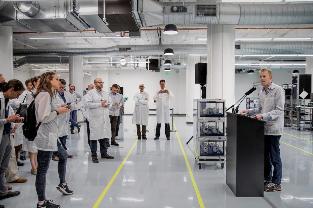
Editor’s Note: Sources include the Sourcery interview released November 5, 2026, Planet’s November 5 AI app release, official imagery specifications and investor disclosures. Coverage claims and sensor resolutions refer to different constellations. The manufacturer-supplied photographs are dated archival material rather than stills from the new interview; financial figures are reported results, not forecasts. Video-player availability and playback require separate checks.

For mobile scanning, open the article on another display and use a compatible Bitcoin wallet to scan the original donation QR. Verify the destination before donating 5,000 sats: 3C9o19EH5HSiwEPyCTmEKzxhNCbo2X6TTb.
We volunteer daily to ensure the credibility of the information on this platform is Verifiably True. If you would like to support our work and help further secure the integrity of our research initiatives, please scan the QR code below to donate 5,000 sats.
BitcoinVersus.tech is not a financial advisor. This media platform reports on financial subjects purely for informational purposes.


Leave a Reply